
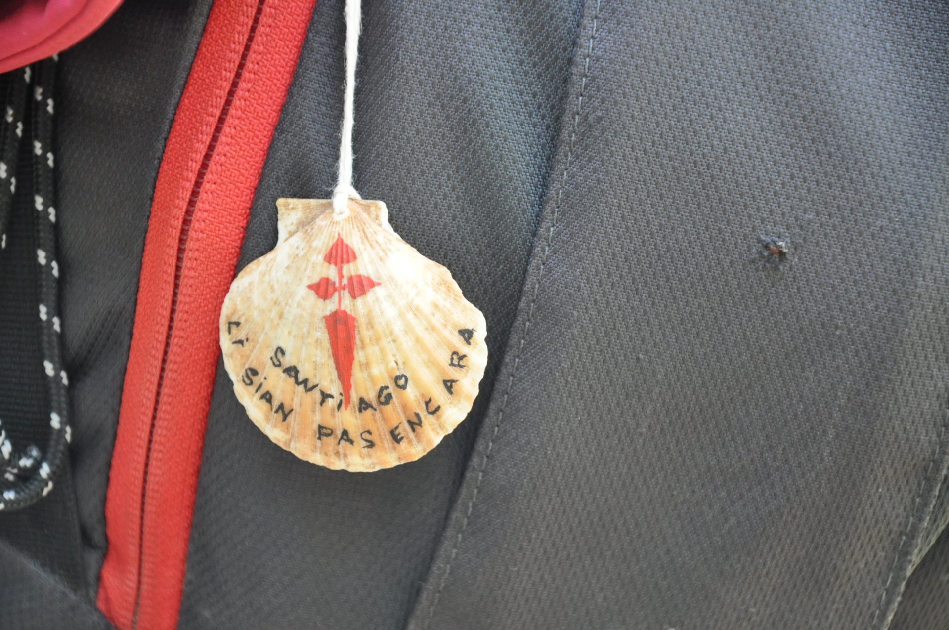
Way of Saint-Jacques de Compostelle
On the way to Santiago de Compostela and Rome
The Way of St. James and Rome, traced as close as possible to the Domitian Way (Via Domitia), linking Rome to Spain, allows you to discover very beautiful sites and monuments. This great artery has thus seen pilgrims crossing paths, from the first centuries of our era and until the recent past, going to Rome or to Santiago de Compostela.
The stages of the Way of St. James of Compostela
Discover the 9 stages that take you through the Alpes de Haute Provence department coming from Montgenèvre and continuing towards Arles, following the GR®653D – marked white and red.
Stage 1: Venterol – La Motte-du-Caire: 18 km – 6 hours
The GR653D, coming from Italy, enters our department through the village of Venterol. A village to visit, as well as the church and the ruins of Fort Chatelard. An orientation table offers a panoramic view of the Durance and the Alps.
A variation is possible via Faucon-du-Caire, the native village of Saint-Jean de Matha, founder of the Trinitarians.
- Venterol – Cairo: 14 km
- Cairo – La-Motte-du-Caire: 4 km
Stage 2: La Motte-du-Caire – Saint-Geniez: 20 km – 6h/6h30
As you approach the Col de Saint-Geniez, you will take an old "Royal Road" (old stone roads, named "Royal" under Louis XI. The construction of the retaining walls is cyclopean.
- La-Motte-du-Caire – Nibles: 11,5 km
- Nibles – Châteaufort: 1,5 km
- Châteaufort – Saint-Geniez: 7 km
Stage 3: Saint-Geniez – Sisteron: 15 km – 4 hours
A few kilometers after Saint-Geniez, the change in landscape is striking. We move from the southern Prealps to the hills of Provence.
On the way... The Written Stone: Dardanus, former prefect of Gaul, founded (412-413) the Christian community of Theopolis or "City of God". A large engraved stone bears witness to this fact.
Sisteron, its imposing citadel, its cathedral and its “andrones”.
- Saint-Geniez – Sisteron: 15 km
Stage 4: Sisteron – Peipin: 11,5 km – 4h30
The view of the Alps from the summit of the Bois de Chapage (1030m). While crossing the woods, traces of charcoal burners can be seen.
Last major elevation gain on the Way of St. James before the Pyrenees.
- Sisteron – Peipin: 11,5 km
Stage 5: Peipin – Peyruis: 20 km – 5h30
An easy stage taking an old Royal road from the Châteauneuf Val Saint Donat exit before reaching the valley where the old Saint Donat chapel and the current one are located.
The variant continues along the Royal Route before joining the D101 at the entrance to Peyruis.
- Peipin – Aubignosc: 1,5 km
- Aubignosc – Châteauneuf-Val-Saint-Donat: 7,5 km
- Châteauneuf-Val-Saint-Donat – Peyruis: 11 km
Stage 6: Peyruis – Lurs: 14 km – 3 hours
A legendary stage straddling the Durance Valley and the Forcalquier region. The Ganagobie plateau and its ancient village built at the northern end.
Located on the plateau, the Notre-Dame Monastery (still occupied by a community of men) and its 72th century chapel with its superb mosaics, the largest pavement of this type in France (2 mXNUMX).
- Peyruis – Ganagobie – Lurs: 14 km
Stage 7: Lurs – Forcalquier: 14,5 km – 4 hours
Le village of Lurs, former summer residence of the bishops of Sisteron, is classified as a "Village and Town of Character". Built on a rocky spur, it offers an exceptional view of the Alps and the Luberon.
The communal stopover lodge, recently converted from the kitchens of the former 18th-century seminary, welcomes hikers and pilgrims. Forcalquier, the mineral landscape of the “Mourres”.
- Lurs – Forcalquier: 14,5 km
Stage 8: Forcalquier – Saint-Michel l'Observatoire Lincel via Mane: 11 km – 3 hours
Easy family route, with passage on the Via Domitia. After the village of Mane, the path becomes very varied and offers many discoveries of religious and rural heritage. It will alternate agricultural landscapes and wild lands, farms and well-restored hamlets.
Note Saint-Michel l'Observatoire Lincel houses the Astronomy Center and the Haute-Provence Observatory (OHP).
- Forcalquier – Saint-Michel l'Observatoire: 11 km
Stage 9: Saint-Michel l'Observatoire – Céreste via Reillanne: 20 km – 5h30
From Forcalquier, we are at the heart of the dry stone civilization of Haute-Provence. The villages we pass through have housed, cared for, and fed many passersby and pilgrims, as the archives attest.
Note: among the graves on the Carluc Priory site, several contained bodies bearing the scallop shell.
The path then continues via Vaucluse.
- Saint-Michel l'Observatoire – Céreste: 20 km
Practical information for hiking to Compostela
Here are links to the French Hiking Federation's topo-guide: GR®653D Path to Santiago de CompostelaThis guide describes a route of almost 450 km from Montgenèvre on the border with Italy to Arles, passing through the Alpes de Haute Provence.
Finally, if you need additional information before leaving, you can contact theProvence-Alpes-Côte d'Azur and Corsica Association of Friends of the Ways of Saint-Jacques-de-Compostelle and Rome.

Découvrez également