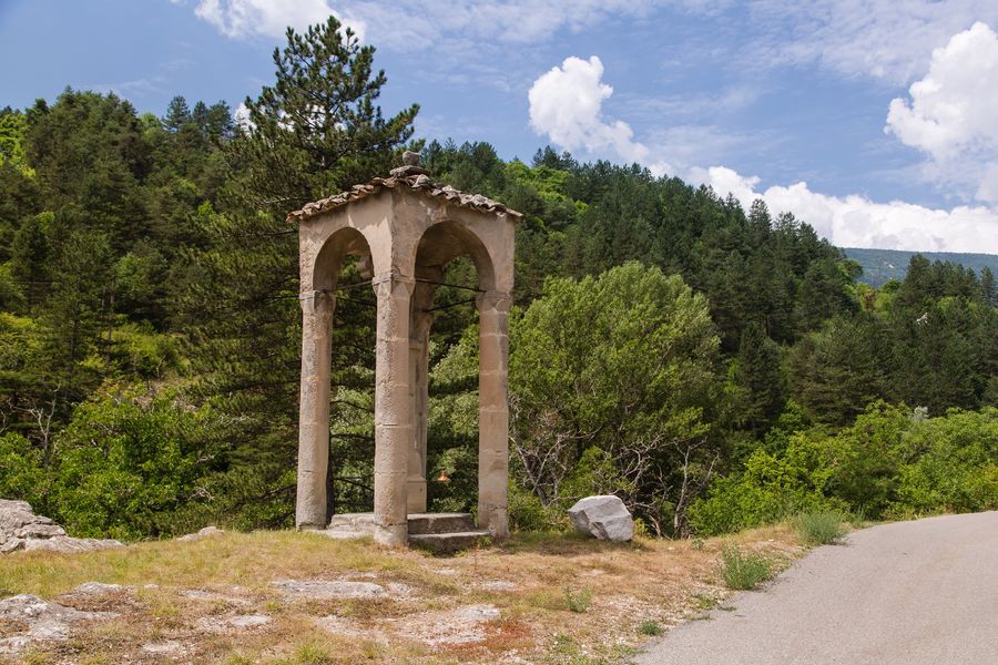
This sandstone cross, located south of Annot, is sheltered under a canopy made up of four limestone columns. Despite its name, it is believed to date from the 16th century.
Description
Despite its name of Roman (or Roman) Cross, and the dating given on the classification order, stylistic analysis suggests a dating of the 1764th century. On the Map of Provence of the Military Geographers Engineers (1765-1) at 14:000, it is shown. It also appears on the cadastral map of 1830, on an "arid" plot belonging to Coste Honoré Jean-Baptiste. It is located a few dozen meters south of an old chapel, Notre-Dame des Auches, which appears on the Map of Provence, on the Cassini Map and on the cadastre of 1830, the date at which this chapel belonged to the commune of Annot. The columns of the canopy are similar to others, reused in houses around the church of Annot. They could come from an old cloister.
source: General inventory of cultural heritage of the Provence-Alpes-Côte d'Azur region