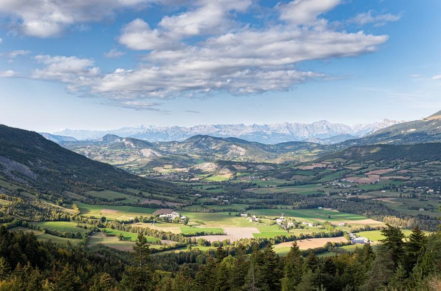
The Col du Fanget, 1459 m, is located in the Préalpes de Digne massif. It connects the Blanche Valley to the Bès Valley
Description
The Fanget Pass connects the Bès Valley to the Blanche Valley. At an altitude of nearly 1 meters, it offers a beautiful panorama in the heart of a remarkable natural setting.
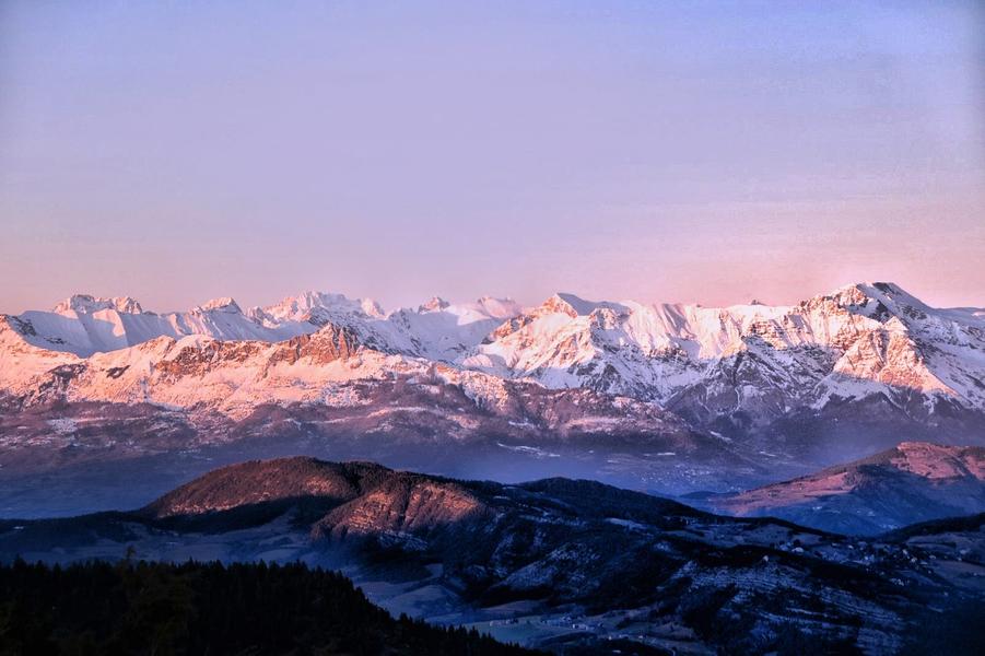
The Seyne basin is dominated to the northeast by the Blanche mountain range, which stretches 19 km from Dormillouse (2505 m) to Estrop (2961 m). This succession of mountains once formed the border between Provence and Dauphiné, with the Ubaye valley beyond.
During the Quaternary period, the Ubaye glacier, coming from the north via the Col Saint-Jean, invaded the valley and extended southwards via the Col de Maure. The La Chau plateau is an ancient scree slope with large elements which allows the former limit of the glacier to be identified at the foot of the steep reliefs of the Blanche range.
Glacial retreat began here quite early, as evidenced by pollen found in peat bogs (Lake St-Léger). As it melted, the glacier left many traces, such as accumulations of moraines or abandoned erratic blocks, such as the Grosse Pierre de Selonnet.
The Col du Fanget is a privileged site for practicing Nordic sports.
Rates / opening
Prices
Free access.