Distance 101.14km
Elevation 2768m
Duration 128 hrs
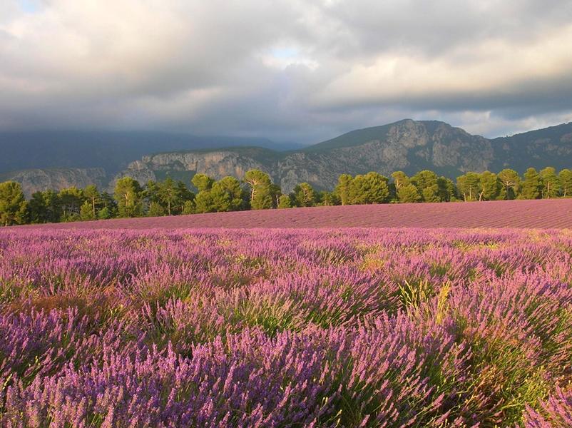
In the heart of Haute Provence between lavandin fields and lakes with turquoise or emerald green waters, breathtaking landscapes.
Description
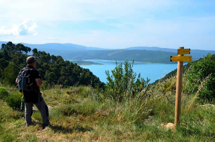
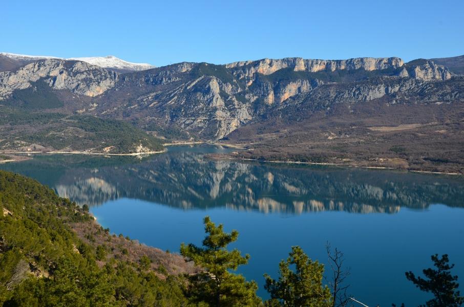
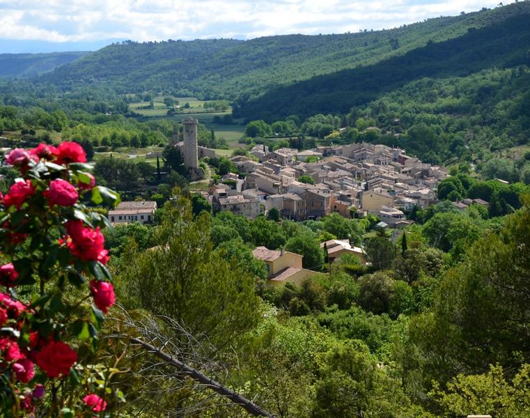
The route leaves Gréoux-les-Bains along the banks of the Verdon then reaches the hill before descending to Saint-Martin-de-Brômes. The ridge path allows you to cross the plateau on the heights of the Colostre valley to go back down to Germany in Provence either for a stopover or otherwise continue to reach Riez. Then we leave Riez going up to the Sainte-Maxime chapel. The route continues on the plateau and goes down to the village of Roumoules. It extends eastward up the plateau until it dominates the entrance to the Verdon gorges. The path runs along the plateau to go down towards Moustiers-Sainte-Marie. The route from Moustiers runs along the Maïre valley to reach the shores of Lake Sainte-Croix. After a climb via the Font-Collomp ravine, the path reaches the plateau. The route then follows a balcony on the heights of Lake Sainte-Croix and offers a short incursion into the interior of the plateau to then descend towards the village of Sainte-Croix-du-Verdon. After a climb towards the orientation table, the route gradually descends towards the lake and runs along the Baudinard gorges downstream of the Sainte-Croix dam, to successively reach the Montpezat lake and the village of Saint-Laurent du Verdon. After a portion alternating between hills and plateau crossings, the route goes back down to Quinson. The departure from Quinson is by an ascent towards the Séuve plateau. The crossing of the plateau follows the wooded areas still marked by the 2005 fire until reaching the heights of the lake and the village of Esparron following the botanical trail. The route crosses a hilly area along Lake Esparron, alternating uphills and downhills until reaching the oppidum of Buffe Arnaud before reaching the village of Saint-Martin-de-Brômes. The end of the stage links Gréoux-les-Bains, reaching the site known as the “Cloud Merchant” and descending towards the banks of the Verdon.
Type : Marked roaming
Distance : 101.14km
Elevation : 2768m
Duration : 128h
Max altitude : 775m
Marking details
GR® - GRP®
Delicate passages
Refer to the specific recommendations for each step.