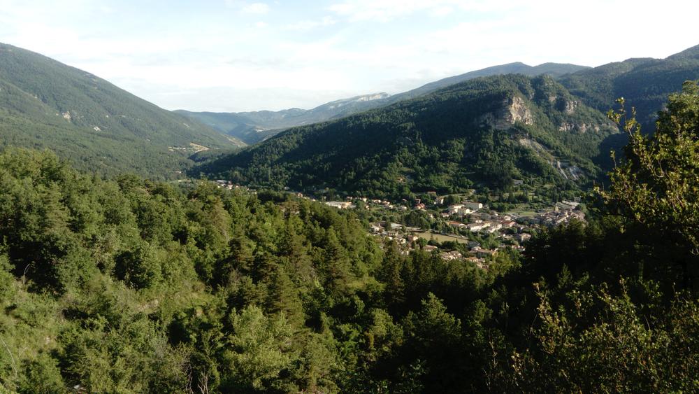
Shaded for the first half of the route, the path offers, through a few gaps, a beautiful view of the entire Vaïre Valley. It then joins a forest track and descends towards the village via the forest road.
Description
Type : Marked loop
Distance : 4.46km
Elevation : 277m
Difficulty : Easy
Max altitude : 970m
Rates / opening
Prices
Free access.
Opening
All year round, every day.
Subject to favorable snow and weather conditions.