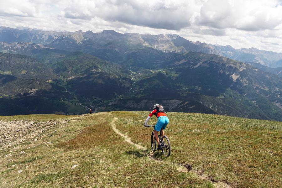
Parking and departure from the tourist office. Discover the hamlets and farms of the Pays de Seyne, along small paved roads (50%) and drivable tracks.
Description
Superb panoramas with views over the Blanche Valley:
Type : Marked loop
Distance : 23.8km
Elevation : 740m
Duration 2h30
Difficulty : Difficult
Max altitude : 1524m
Marking details
Gravel
Cartographic references
MTB route No. G2 on the MTB hiking map Provence Alpes MTB area Blanche Serre-Ponçon sector
Comfort and amenities
Equipment
Rates / opening
Prices
Free access.