Distance 33.4km
Elevation 1480m
Duration 0min
Difficulty Difficult
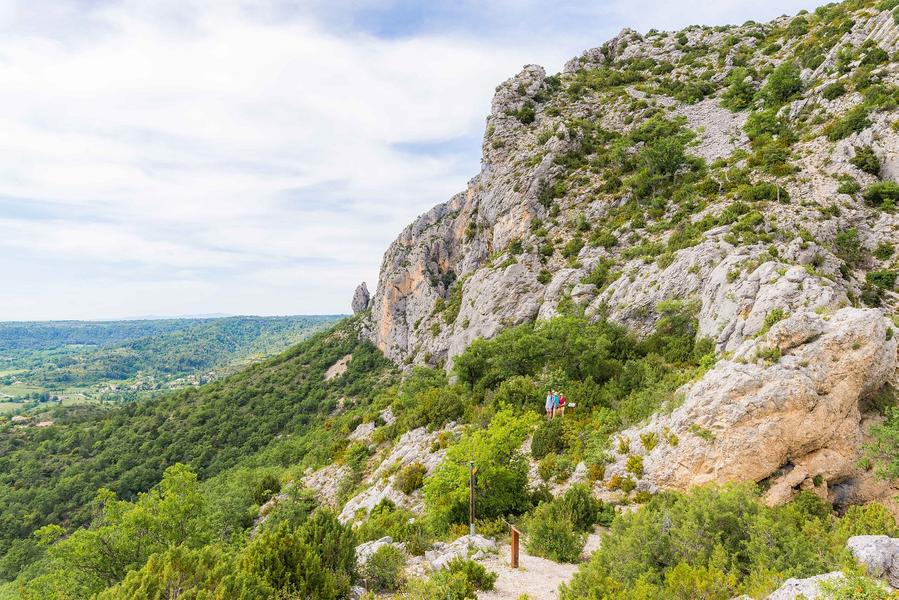
The GR®4 offers some of the most beautiful landscapes in Provence. It crosses the deserted plateaus of the Grasse hinterland and joins the course of the Verdon where it crosses the Grand Canyon by the famous Blanc-Martel trail.
Description
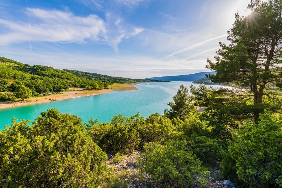
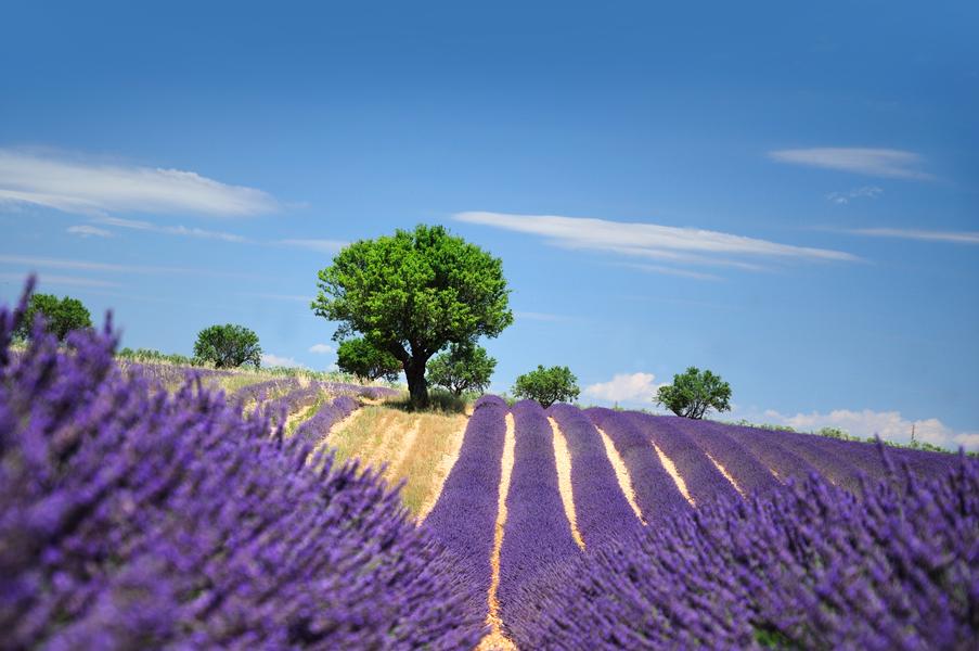
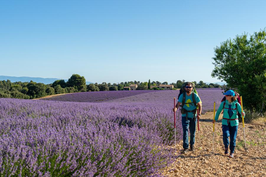
This stage between the villages of La Palud sur Verdon and Sainte-Croix du Verdon will allow you to discover some of the Verdon's gems, the Grand Canyon with its famous Gorges, the sumptuous Sainte-Croix lake, and the characterful village of Moustiers-Sainte-Marie, which is listed among the Most Beautiful Villages in France. The GR4 then continues towards the immense lavender fields of the Valensole plateau, and continues through the hills of Manosque and the Luberon Regional Natural Park. Further west, the GR®4 crosses Mont Ventoux before reaching the Rhône Valley.
GR® and GR® de Pays are registered trademarks of the FFRandonnée. They designate the routes created by the FFRandonnée and identified under the name "GR®", marked with white and red markings, and "GR® de Pays", marked with yellow and red markings. Reproduction of routes and markings is subject to express authorization from the FFRandonnée.
The GR® and GR® de Pays are maintained by volunteers from the FFRandonnée.
The GPX tracks provided are the property of the FFRandonnée and reserved for normal use in a private setting, particularly for preparing hikes and treks. Their reproduction for commercial or promotional purposes or for integration into Open Data or collaborative sharing is strictly prohibited.
Type : Marked roaming
Distance : 33.4km
Elevation : 1480m
Duration : 0 min
Difficulty : Difficult
Max altitude : 1380m
Marking details
White/Red (GR)