Distance 10.9km
Elevation 442m
Duration 4h
Difficulty Quite difficult
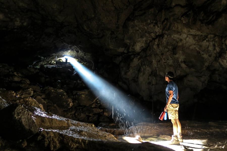
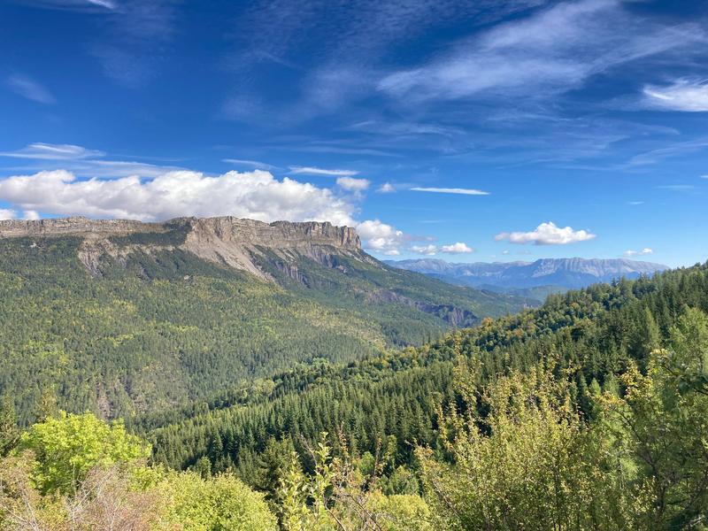
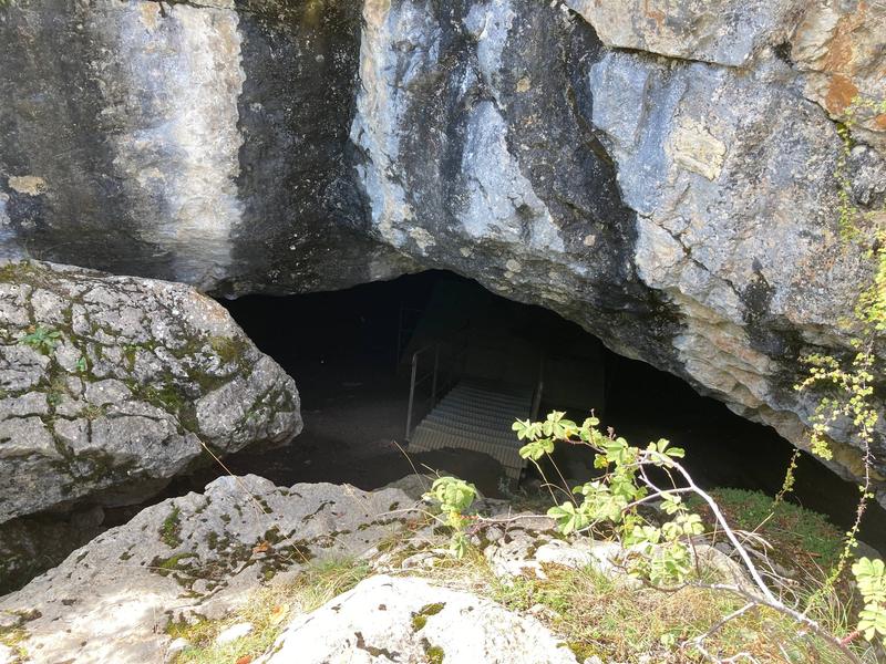
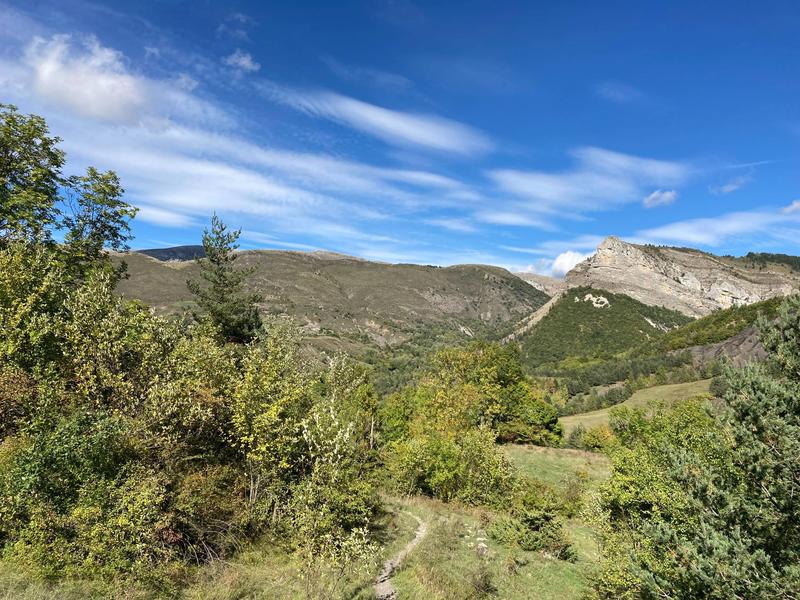
In a beautiful forest of beeches and conifers, on the side of the Montagne de Mélan, the shaded route winds until reaching the ammonite slab, then the Saint-Vincent cave. Until the beginning of the 20th century, the inhabitants of Mélan climbed there
Description
Type : Marked loop
Distance : 10.9km
Elevation : 442m
Duration : 4h
Difficulty : Quite difficult
Max altitude : 1521m
Marking details
Long-distance hiking trail markings - Short-distance hiking trail markings