
Distance 46.56km
Elevation 303m
Duration 2h
The Durance by bike is an invitation to explore the cycle route (V862)
Description
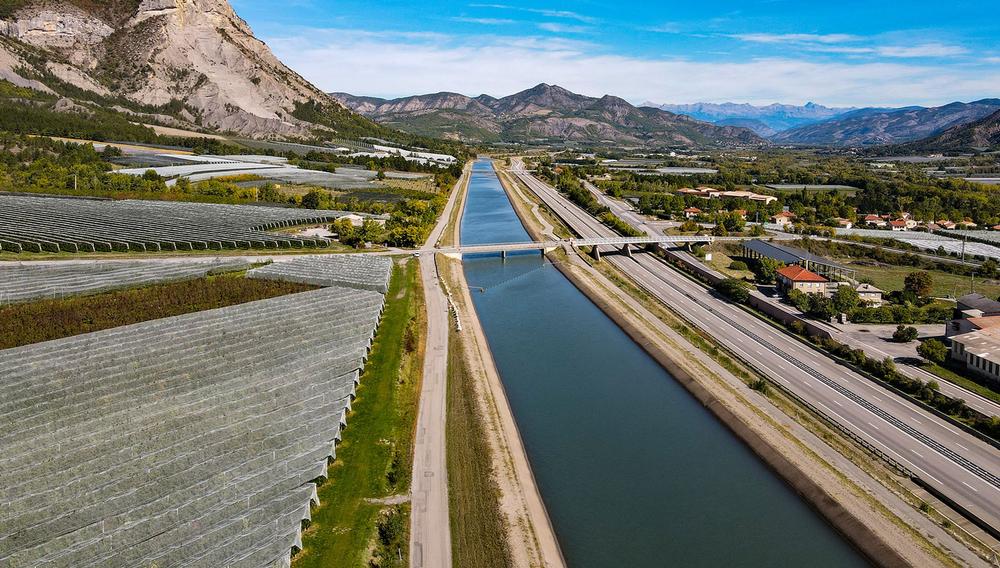
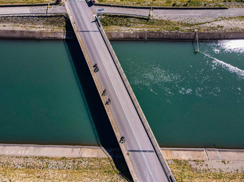
Tamed by the SerrePonçon dam, it soon gives up a good part of its flow to the EDF canal. This structure will be the common thread of this stage, a mirror of water that reflects the Monges massif. The dam reduces the floods, leaving a river with limited flow variations. The beaver and, more recently, the otter have returned to settle there.
No more meandering, we forget ourselves completely as we walk along the canal and the orchards that never end, here and there, on the hillsides.
A little nod to the hilltop villages, like that of Upaix, installed on incursions of Triassic gypsum through other denser layers.
When you leave the canal to wander into the fields and take a look over the ridge into the Buëch valley, you can easily forgive yourself for your infidelity. At the top, you can take your time before throwing yourself headlong into Provence, which opens its doors to you. You will enjoy the erratic rocks, transported on the back of a glacier, then deposited when it melts, whose geological characteristics have nothing to do with the local context.
Last portal: Sisteron, which cannot be missed, clinging to these overturned layers, verticalized by the Alpine orogeny. We will gladly reward it with a few hours to offer ourselves a last look at the high Alpine peaks. It will then be time to join the indolent Durance which awaits us at its feet.
Type : Marked roaming
Distance : 46.56km
Elevation : 303m
Duration : 2h
Max altitude : 620m
Marking details
Cycle route
Delicate passages
Signage The route is continuously signposted from Briançon to Sisteron by standard cycle route signs with the "Durance à velo" route logo. Surface / safety The Durance à vélo is a cycle route that follows a network of secondary paved roads. You will be sharing the road with cars. This is not a cycle path route.