Distance 9km
Elevation 269m
Duration 2:45 PM.
Difficulty Moderate
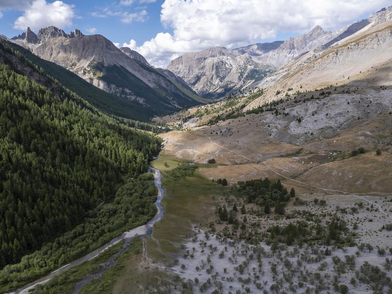
Lake Parouart, created by a huge landslide that blocked the valley, filled in about 90 years ago. Today, it remains a strange, humid plain where the quiet Ubaye River flows silently.
Description
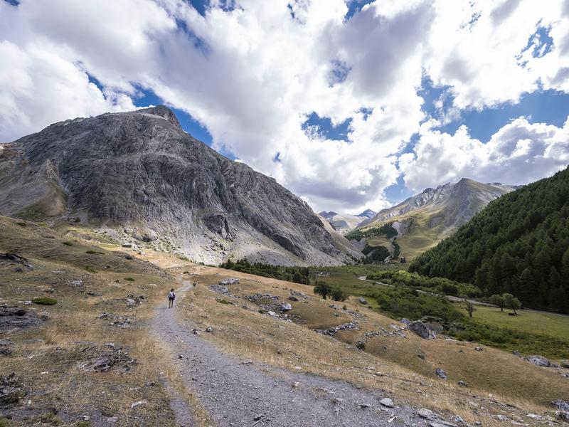
From Maljasset, the route goes up the right bank of the Ubaye, goes around the Plan de Parouart to return to the starting point on the left bank in a beautiful larch forest.
Details concerning animals This hike is accessible with a dog, provided it is kept on a leash throughout. This helps protect wildlife, preserve flora, and ensure the peace and quiet of other hikers.
Type : Marked loop
Distance : 9km
Elevation : 269m
Duration 2h45
Difficulty : Moderate
Max altitude : 2119m
Marking details
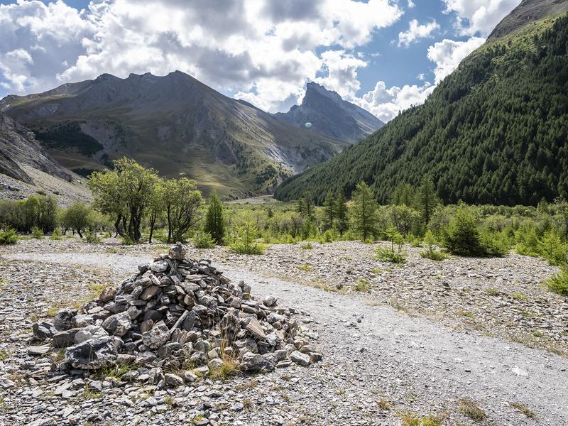
GRP (yellow and red) + PR (yellow) markings
Delicate passages
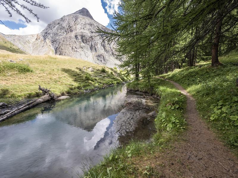
Crossing a torrent by ford between points 2 and 3, do not enter it when the snow is melting, during heavy rain or storms.