Distance 3.51km
Elevation 62m
Duration 1:30
A short walk in Uvernet-Fours, ideal for a family outing to discover the old Bachelard mill.
Description
Follow the PR (yellow markings). There are three possible starting points for completing the loop:
- Route de Praloup just after the town hall of Uvernet-Fours (provides quick access to the old Bachelard mill as well as the wetland).
- Red Bridge,
- Route d’Uvernet-Fours to the Bachelard rest area.
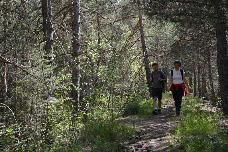
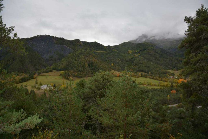
The trail is accessible to people in joëlettes and has information panels. The path passes through a coniferous forest where you can admire the viewpoint, runs alongside the Bachelard and the mountain bike area.
Type : Loop
Distance : 3.51km
Elevation : 62m
Duration 1h30
Max altitude : 1198m
Delicate passages
If you are bringing your children, bring a bottle of water as there is no water point on the route.
Guidebook references
https://rando.marittimemercantour.eu/pedestre/la-boucle-du-bachelard/