
Distance 5.08km
Elevation 562m
Duration 3:30
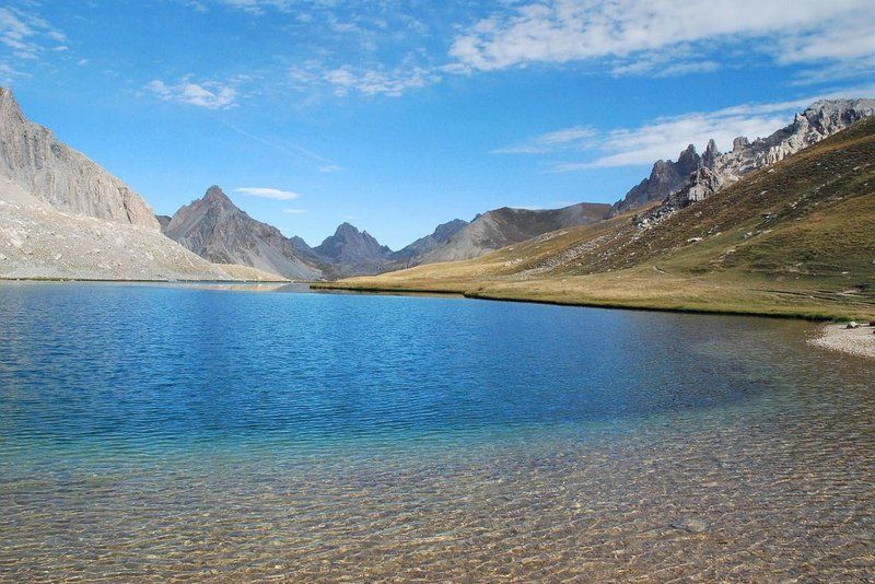
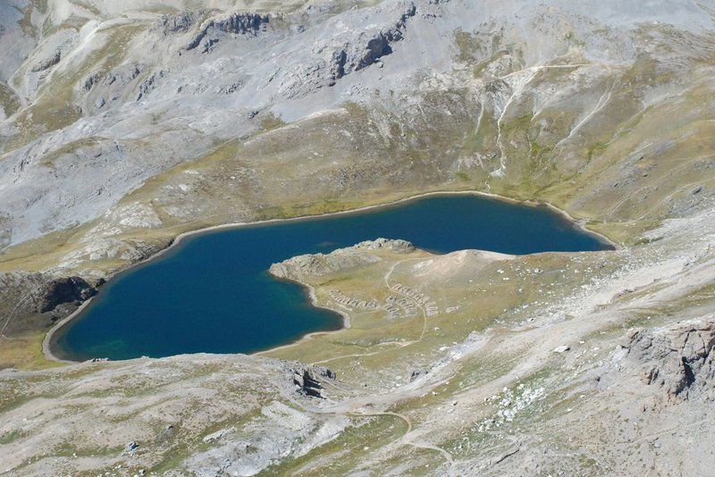
A former glacial valley, the hanging valley of Oronaye shelters a lake with turquoise blue hues, dominated in the distance by the imposing Tête de Moïse (3104m).
Description
1. From the car park, take a wide yellow-red marked path towards the mountain pastures. The path descends slightly and climbs on the right bank of the Oronaye torrent, passing near a sheepfold before crossing a rocky barrier.2. Once you reach the flat area at 2255m, turn right to cross the torrent.3. At the crossroads, turn right towards the Oronaye lake (2411m) dominated by the Tête de Moïse (3104m).4. On the right bank of the lake, follow the yellow marked path and reach the Roburent pass (2502m).5. Go back down to the starting point (the car park) following the same route.
Type : Round trip
Distance : 5.08km
Elevation : 562m
Duration 3h30
Max altitude : 2498m
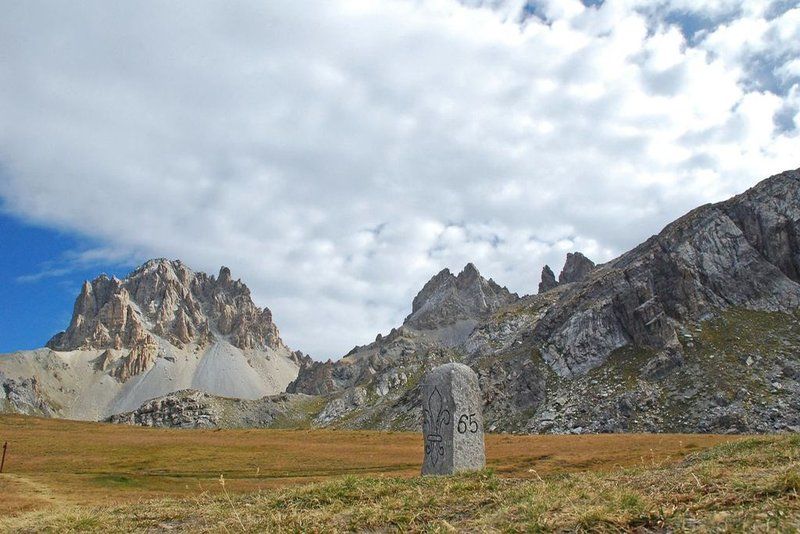
Delicate passages
- Do not enter the valleys on days of poor visibility.- Presence of pastoral areas: keep dogs on a leash.
Guidebook references
https://rando.marittimemercantour.eu/pedestre/le-lac-de-loronaye/