Distance 14.5km
Elevation 1050m
Duration 6h
Difficulty Very difficult
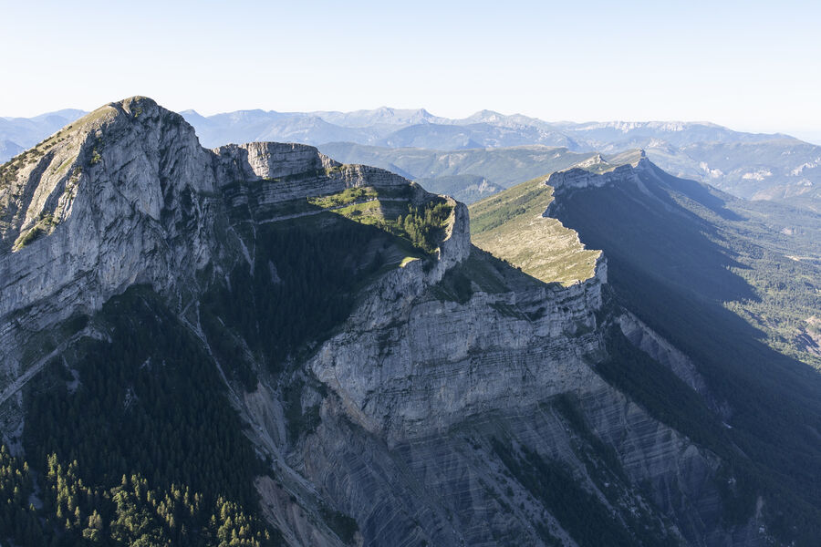
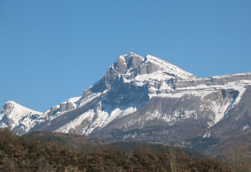
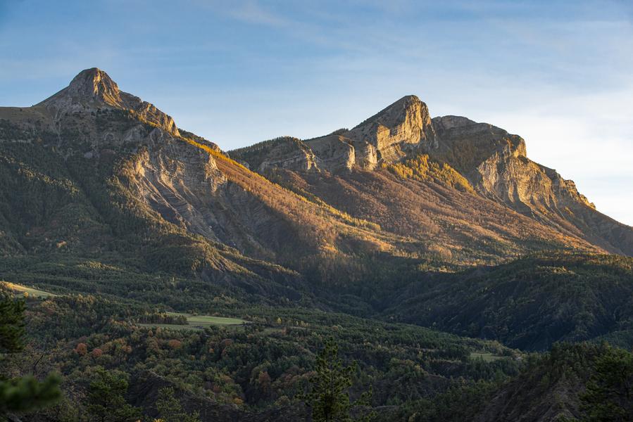
Very pretty hike above Archail. Superb panorama throughout the walk as well as at the top. Magical passage on the Pas d'Archail, between the summit of the Pic de Couard and the Cucuyon. Very pleasant setting.
Description
The departure is from the village of Archail. The road to the village is quite narrow and there can be snow or ice in winter. Arriving in Archail, park in the main square next to the church.
Go up the road to the left of the church then turn right at the fork shortly after. If the road is not blocked, there is the possibility of parking a little further on in a small car park at the level of the Vieraron dam.
At the Vieraron dam, leave the tarmac to continue on a wide path. Ignore further on a departure on the left and continue straight to reach a track.
Cross the latter and go straight to find it higher.
Cross the track again to take the path that climbs opposite and reach a complex intersection.
Turn left on the path which begins a series of bends further on before reaching the Pas d'Archail where there is a refuge and an old shepherd's hut.
Continue on the right, pass in front of the refuge then leave the track to engage in a path on the right. After a few bends, the path widens and the slope becomes gentler as you cross the managed Pic de Couard biological reserve.
Turn right with the path; the slope becomes steeper and the path winds up to the summit of the Pic de Couard. Markings are sparse and if you lose the trail head for the ridge to the left of the summit.
The return is by the same route to the village (D/A).
Type : Marked round trip
Distance : 14.5km
Elevation : 1050m
Duration : 6h
Difficulty : Very difficult
Max altitude : 1976m
Marking details
Yellow (PR)
Cartographic references
Ref. 3440ET