Distance 14km
Elevation 760m
Duration 5h
Difficulty Very difficult
Beautiful hike in a forest atmosphere under the summit of Cheval Blanc, a mountain also called "cursed mountain" due to the two plane crashes that occurred on January 27 and 30, 1948.
Description
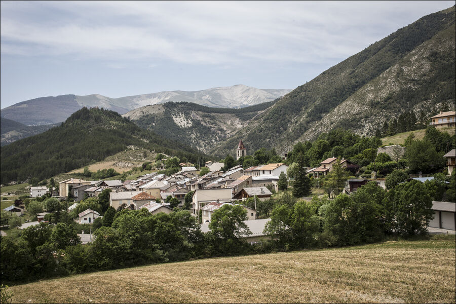
Departing from the small hamlet of Château Garnier at 1,095 m, follow the D2 towards Saint André-les-Alpes (yellow and red markings), cross the bridge over the Estelle and take the first right. Pass in front of the St-Thomas chapel and reach a crossroads.
When you reach the yellow marker indicating Plan de Saint Thomas at 1,117 m, turn right. The path joins a track, crosses it and then crosses a meadow to reach the forest. Climb up the hillside and join a track higher up. Follow it to the right as it climbs to its end.
You then arrive at the marker indicating the Bois de Favier at 1,696 m. Take the path that descends to the right, into the Ajasson ravine, then go back up directly to the Cabane de Cheval Blanc. From there, descend by the same path followed on the way up to an intersection, and then turn left. The path then descends along the side to the Favier ravine. Follow the valley on the descent and join a track. Continue to follow it along the stream to Château Garnier.
Variant: The summit of Cheval Blanc via the ridges. Its summit offers an exceptional panorama (+3 hours, +560m elevation gain).
Type : Marked loop
Distance : 14km
Elevation : 760m
Duration : 5h
Difficulty : Very difficult
Average altitude : 1359m
Max altitude : 1782m
Marking details
Yellow / red then yellow
Cartographic references
Map No. 2 Verdon Tourism 17 hiking trails Haut-Verdon Val d'Allos, TOP 25 IGN 3540 and 3541 OT