Distance 4.1km
Elevation 150m
Duration 2h
Difficulty Easy
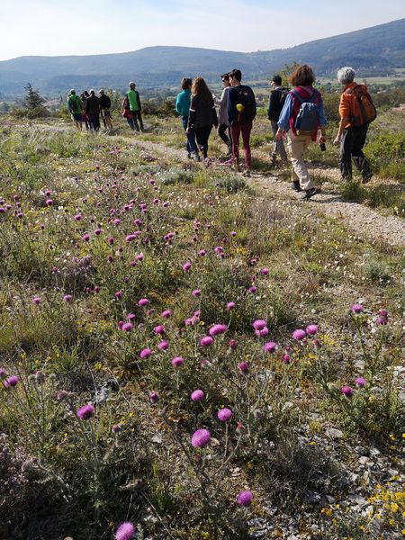
Venture onto the ridges of this belvedere, remarkable for its biodiversity, to discover wild plants.
Description
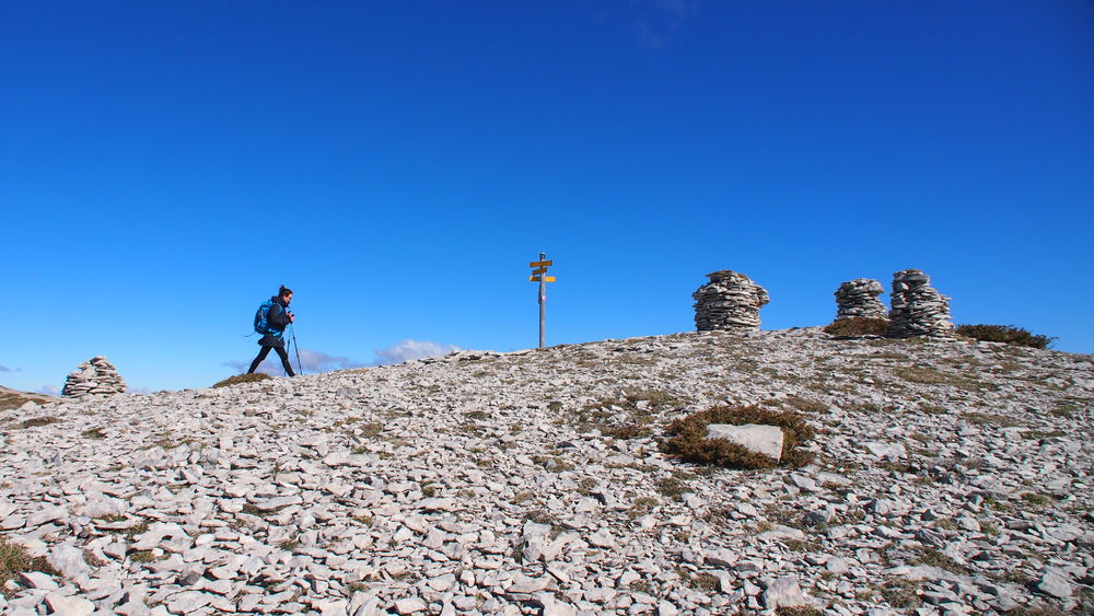
To the north, the countless peaks of the Alps are a panorama. To the south, the undulations of the Provençal massifs. The fantastic panorama offered by this short hike is easily accessible.
From the Lure summit area, the route gently follows the curve of the mountain through its grassy moors, before a short climb to the ridges. Endless landscapes accompany you as you follow the ridgeline to the summit of Lure.
Lure is an area of remarkable biodiversity. In the 15 kilometers as the crow flies that separate the banks of the Durance from the ridges, no fewer than 1600 plant species have been recorded. Geology, geography, the harsh climate, and pastoral practices have shaped the landscapes and vegetation.
Type : Marked loop
Distance : 4.1km
Elevation : 150m
Duration : 2h
Difficulty : Easy
Marking details
Departure: Lure antenna parking lot Yellow PR and red and white GR markings Signs: Lure summit area - Les Chaumettes - Creux des Chamois - Lure ridge - Lure summit - Les Relais
Guidebook references
www.rando-alpes-haute-provence.fr/randonnee-pedestre/sur-les-cretes-de-lure/