Distance 105.303km
Elevation 4039m
Exceptional for its geographical position, impressive for its landscapes, overwhelming for the absence of habitat, the Monges massif alternates between mountain pastures, narrow and forgotten valleys, immensity and unforgettable viewpoints.
Description
It is a timeless space ideal for the experienced hiker and accessible to the accompanied beginner. From 400 to 2 m above sea level, its fauna, flora and heritage are as varied as its landscapes.
STAGE 1: Saint Geniez - La Motte-du-Caire (5h30 - 25 km)
Holiday cottages in Saint-Geniez and La Motte-du-Caire
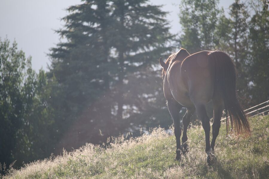
Following the GR®653D path of Santiago de Compostela to Nibles, you pass by “le Collet”, the Donney farm facing the Durance valley. The view is pleasant and the vegetation unusual. Crossing the Sasse (torrent) allows the horses to drink.
The "Tête des Monges" hill via the "Homme Mort" passage leads you to the village of La Motte-du-Caire, following the GR (Greater Mountain Trail). You can quench your thirst at the village bar.
STAGE 2: La Motte-du-Caire - Beaudinard (5h30 - 20 km)
Gîte in La Motte-du-Caire
You leave the Sasse valley to head towards the “Pas de Palabiouse”. At the “Rocher du Roy” you take the short hiking trail that leads you to Beaudinard. This mule track allows you to cross the cliff of the Jouère mountain at an altitude of 1500 m, a real barrier between the valleys of Clamensane, Reynier and Beaudinard.
Then you go back up the valley through the Jouère mountain, your altitude varies from 1 to 600 m. These mountain pastures are the favorite place of the mouflons. You take the path of the old cabin to go down to “Riou Froid”, then go back down to the bottom of the valley and arrive at the village of Beaudinard
Shortcut: at the Palabiouse pass, go down directly to the
village of Reynier by the only track.
STAGE 3 3 Beaudinard - Authon (6h - 20 km)
Gîte in Authon
This day is the most physical. The climb to Lac des Monges by the small hiking trail is quite tough, rewarded by the spectacle of this magical place marks the start of your day.
Then follow the GR©6 to cross the majesty of the mountain pastures of Clapouse, Chine and Croix de Veyre (1 m), a true reservoir of Sisteron lamb.
The Feissal Valley, which leads back to Authon, winds between Les Monges and Géruen. At the "Feissal" crossroads, leave the GR©6 and stay on the trail until you reach Authon.
Shortcut: from Beaudinard take “la Sapie” old farm, the path marked in red takes you past the crest of the “col de la Sapie” at 1 m and back down (yellow markings) towards Authon. This passage is much shorter.
STAGE 4 Authon - Thoard (6h - 25 km)
Gîtes in Authon and Thoard
To reach Thoard, go to the Col de Fontbelle by following the GR©6 and taking the pretty “Font Benette” path between the beech trees, spruces, firs, strawberries and raspberries… then the Col d’Ainac by the forest track which opens onto the Thoard valley, blued by lavender.
The short hiking trail takes you back through the bottom of the Duyes valley to Auribeau before descending to the village of Thoard by road.
STAGE 5 5 Thoard - Saint-Geniez (5h - 20 km)
Gîtes in Thoard and Saint-Geniez
From the village of Thoard, climb the Vaumuse mountain by the equestrian path, to follow the ridges to the summit and by the GR©406 arrive at the Mounis pass (breathtaking view).
From there you reach the wild and mysterious Vançon valley via the GR®6.
The old Abros path (marked yellow) takes you back to the Rocher de Dromont and the hamlet of Chabert.
Type : Marked loop
Distance : 105.303km
Elevation : 4039m
Cartographic references
Horseback riding map: The Tour des Monges on horseback