
Distance 6km
Elevation 277m
Duration 2:15 PM.
Difficulty Moderate
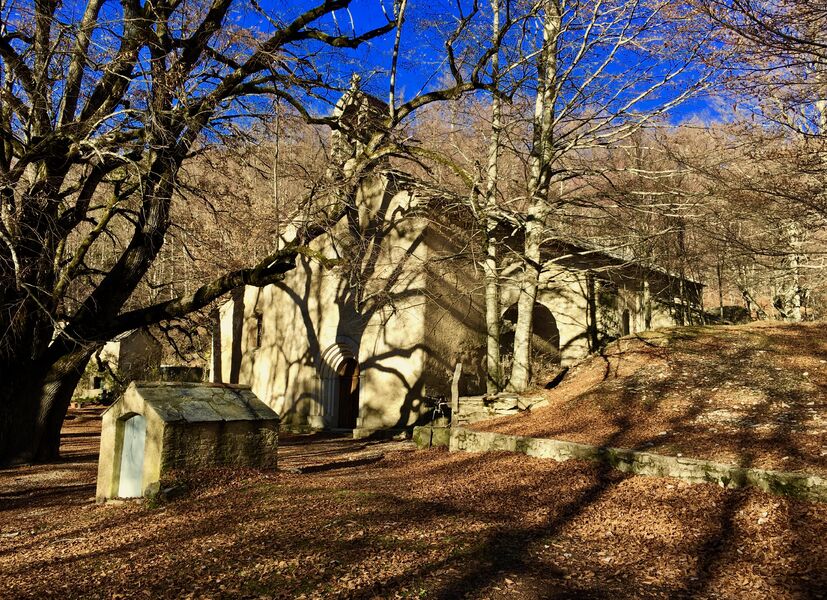
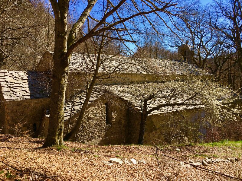
The church is built in a valley at an altitude of 1236 m, in a "solitude" away from the world. The path passes close to an old sheepfold (Jas de Marguerier) and the ruins of Jas de Clément.
Description
On this site, you can also discover the epic tale of the drugstore merchants and the history of the plants of the Montagne de Lure.
Type : Marked loop
Distance : 6km
Elevation : 277m
Duration 2h15
Difficulty : Moderate
Marking details
Yellow PR Departure from the chapel Signs: ND de Lure Défends des Boeufs Combe de Chavalet ND de Lure
Guidebook references
www.rando-alpes-haute-provence.fr/randonnee-pedestre/notre-dame-de-lure/