Distance 15km
Elevation 750m
Duration 6h
Difficulty Very difficult
Follow in the footsteps of the Romans by taking the old Roman road and reach the castle of Castellet-Saint-Cassien, a property which served as a summer residence for the lords of Glandèves d'Entrevaux.
Description
Exit the car park via the D911 towards Brianconnet. After 300 metres, turn left to avoid a section of road. The route then follows the road again for 300 metres until you reach the Roman road on the left. A gradual climb of around 400 metres begins, in a mineral and forest setting. Several cairns are in place to guide you.
Don't hesitate to turn around to enjoy the breathtaking view of the Entrevaux citadel on its rocky outcrop. This section also offers spectacular views of the surrounding peaks and the rocky bar that rises above the Chalvagne River.
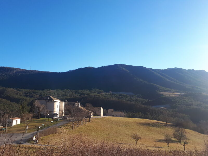
The route then joins the road to Castellet-Saint-Cassien and offers beautiful panoramas of the wooded mountains of the upper Esteron. Finally, follow the GR 4 which runs mainly through undergrowth mainly composed of pine trees, to descend to Entrevaux.
Type : Marked loop
Distance : 15km
Elevation : 750m
Duration : 6h
Difficulty : Very difficult
Average altitude : 803m
Max altitude : 1128m
Marking details
Yellow then White/Red
Cartographic references
Set of 2 Verdon Tourism maps around Annot and Entrevaux.