Distance 11km
Elevation 800m
Duration 2:30
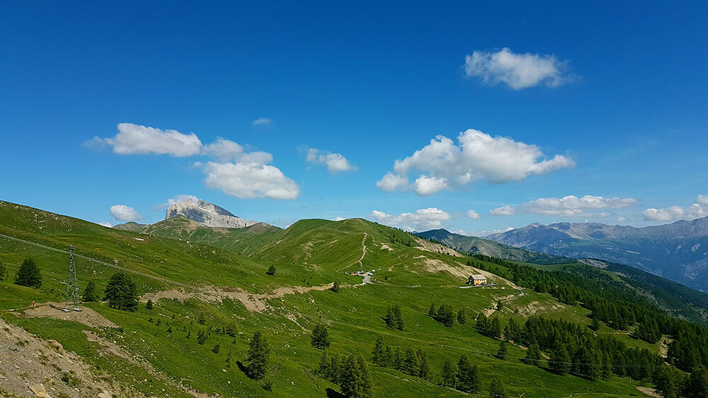
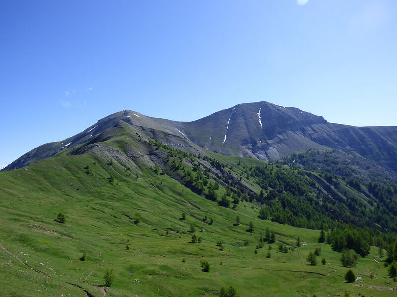
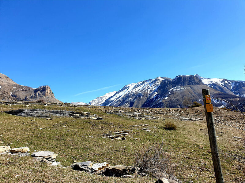
Route crossing the different levels of alpine vegetation.
Description
Departing from Val d'Allos - Le Village, whether from the Haute Colette car park or the tourist office, you will take a varied route crossing the Haut-Verdon national forest to the Prénier cabins. The circuit continues towards the Prénier valley in beautiful meadows until you reach a ridge line which will take you to the summit of the Col d'Allos and its refuge of the same name.
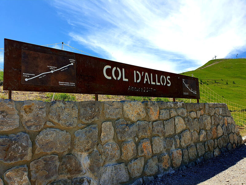
Type : Marked roaming
Distance : 11km
Elevation : 800m
Duration 2h30
Max altitude : 2250m
Marking details
Red and White GR56 B, GR56