Distance 2.3km
Elevation 166m
Duration 58min
This hike is particularly aimed at people who love old stones but also nature with the botanical trail and viewpoints.
Description
The trail starts at the Town Hall Square. Turn left and climb. Ignore the cross on the right and continue uphill. At each intersection, always turn left. After a steep climb, you'll discover the 18th-century Notre Dame de la Roque (Notre Dame des Rochas) chapel.
Notre Dame de la Roche is perched atop the rocky peak overlooking the confluence of the Largue and Durance rivers. It was donated to the Abbey of Saint-Gilles in 1150 by the Bishop of Sisteron, Pierre de Sabran. The apse is flanked to the north by the remains of a curiously integrated Romanesque apse, welded into the new building. To the south, in the 17th century, there was a hermitage that was completed and demolished in 1972: it appears on the Cassini map of 1778.
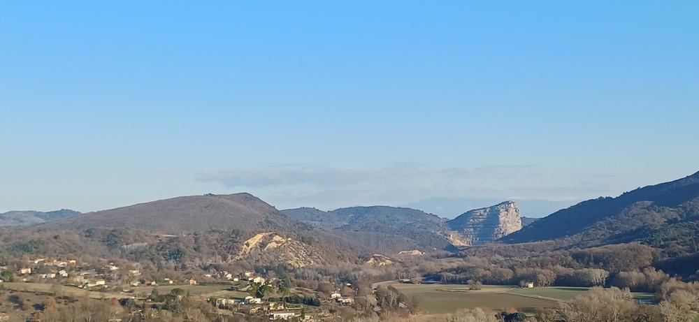
The chapel was restored about thirty years ago. On the façade, an expert placed a gauge on a crack with parallel lips to measure its width: the significant ground vibrations caused by the extraction work in the quarry are destabilizing the building. The Roche Amère quarry is cut into 10 tiers over a height of 150 meters.
Climbing to the summit, we follow the old enclosure before reaching the remains of the medieval fortress. The keep, built on the rock, is of impressive size: we dominate the valley and the village of Volx. An arrow slit has been uncovered. Nearby was the old village of the community of La Roque de Volx, abandoned due to difficult access in 1443, in favor of the new village. Numerous piles of stone bear witness to this. The transfer took place following an agreement between the community and the lords of Brancas of the old village of La Roque.
The site was first excavated by Pierre Martel, founder of Alpes de Lumière, starting in the 1950s. A magnificent panorama awaits you. The return is via the same path.
Type : Round trip
Distance : 2.3km
Elevation : 166m
Duration : 58 min
Average altitude : 498m
Max altitude : 584m
Average slope : 14m
Cartographic references
IGN TOP 25 Map Blue Series 3342 OT MANOSQUE/FORCALQUIER/PNR DU LUBERON