Distance 5km
Elevation 130m
Duration 1:45 PM.
Difficulty Easy
A walk in the heart of nature which will allow you to discover the history, ecology, and geology, the Saint-Léger bog lake is classified as a Natura 2000 special conservation area.
Description
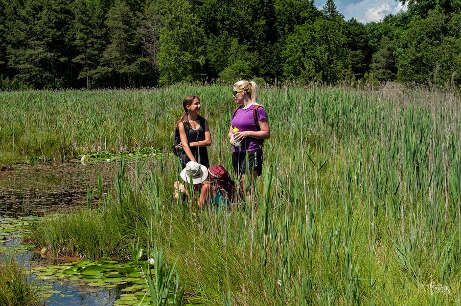
THE family hike. This circuit with its many thematic desks will help you discover the richness of the fauna and flora of the Saint-Léger peat bog, as well as one of the oldest religious buildings in the Blanche valley.
Starting from the family resort of Montclar, the route crosses a beautiful beech forest and easily reaches Lake Saint-Léger, an area protected for its biodiversity. After a short climb to the chapel built in the 13th century, the return is a leisurely one with a beautiful view of the emblematic Dormillouse mountain.
Saint-Jean Montclar (1m) - Head towards Col Saint-Jean. At the sign indicating the pass, carefully cross the D330 and continue uphill opposite into the hamlet of Saint-Jean. Pass the last houses and arrive at a crossroads.
Saint-Jean (1m) - Turn right towards Lake Saint-Léger. The track quickly becomes a small, stony path that descends and reaches a new crossroads, the Sagnes de Saint-Jean.
Sagnes de Saint-Jean (1m) - Take the track on the left towards the Pierre à Sacrifices (GRP® tour of the Serre-Ponçon lake). Continue flat on the track, which quickly arrives in a beautiful beech forest. After a descent, arrive at the Pierre à Sacrifice crossroads.
Pierre à Sacrifices (1 m) - After a round trip to the Pierre à Sacrifices (explanatory panels), located 320 meters to the right of the signpost, return to the crossroads and turn left towards Lake Saint-Léger, which can be easily reached in 75 minutes.
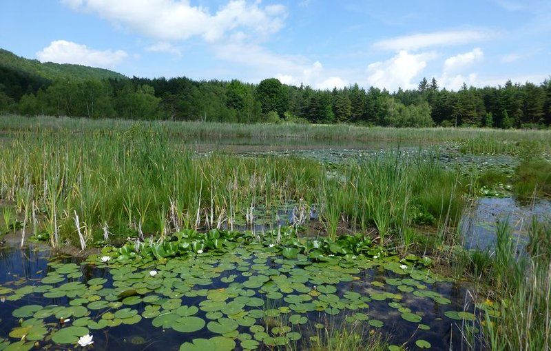
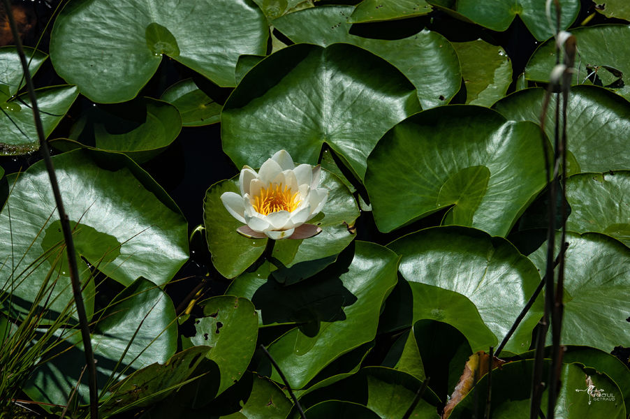
Saint-Léger Lake (1m) - From the lake, which is home to rare plant and animal species, take the wide path towards the church of Saint-Léger and climb easily towards the building, built, according to the information panel, in the 315th century by the Knights Templar. Continue on the path which climbs easily behind the church and crosses a field to arrive at a crossroads. Admire the superb view of the Dormillouse mountain as you go. Turn right onto the path which becomes a track again and runs alongside a field with a pond. Easily reach the hamlet of Saint-Jean. By the same route, return to the starting car park.
Type : Marked loop
Distance : 5km
Elevation : 130m
Duration 1h45
Difficulty : Easy
Average altitude : 1350m
Max altitude : 1390m
Marking details
Yellow/Red (GRP) - Yellow (PR)
Delicate passages
Crossing the departmental road.
Cartographic references
Hike No. 4 on the hiking map around Seyne les Alpes, Lake Serre-Ponçon and the Bès Valley. TOP 25 IGN 3438ET