Distance 14km
Elevation 500m
Duration 4:30 PM.
Difficulty Difficult
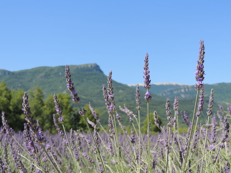
The Mollard ridge and the view of the Alps. The rock of Saint-Etienne and the ruins of the Priory.
Description
Access: Bevons on the D946 coming from Sisteron, before Bevons turn right to Mas du Figuier.
GPS: 31 TX: 0730110 - Y: 4896300
Avoid this hike on wet terrain: crossing steep marl at the start of the circuit.
Type : Marked loop
Distance : 14km
Elevation : 500m
Duration 4h30
Difficulty : Difficult
Marking details
Panel: yellow and white, red.
Delicate passages
Avoid this hike on wet terrain: crossing steep marl at the start of the circuit.
Cartographic references
Jabron Valley Hiking Map