Distance 5.5km
Elevation 300m
Duration 2:30 PM.
Difficulty Moderate
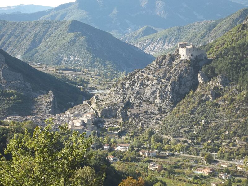
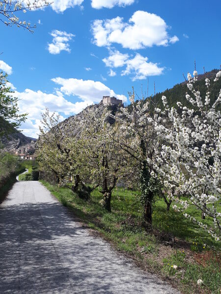
A magnificent panorama of the village of Entrevaux, the citadel, and the surrounding peaks. The return journey is via the Seds, the site of the first settlements during the Roman Empire.
Description
Cross the parking lot, then the aqueduct, and follow the road to the last houses. Take the path on the left, which leads back to the road.
At the intersection, take the direction of Les Tuves on the left. The hike continues on the paved road towards the hamlet of Les Tuves.
After passing all the houses in the hamlet and before the Domaine de Glandèves, the path turns left. It begins a lovely descent through the forest to the Neigeas district.
The return is via the road that serves the station area.
Type : Marked loop
Distance : 5.5km
Elevation : 300m
Duration 2h30
Difficulty : Moderate
Average altitude : 565m
Max altitude : 667m
Marking details
White/Red then Yellow
Cartographic references
Set of 2 Verdon Tourism maps around Annot and Entrevaux.