
The Route GR®69
On the transhumance paths
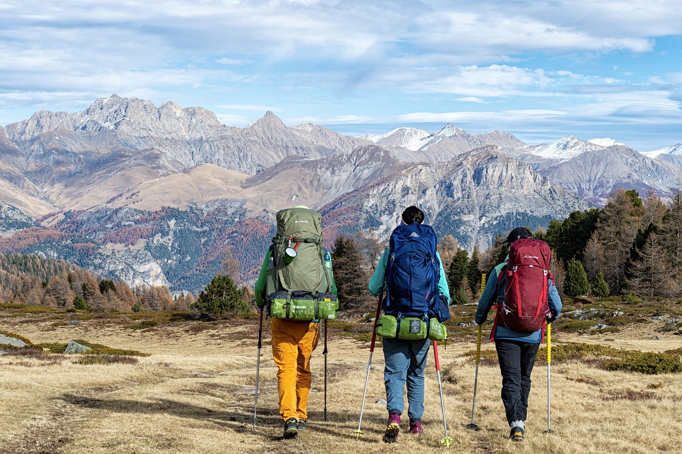
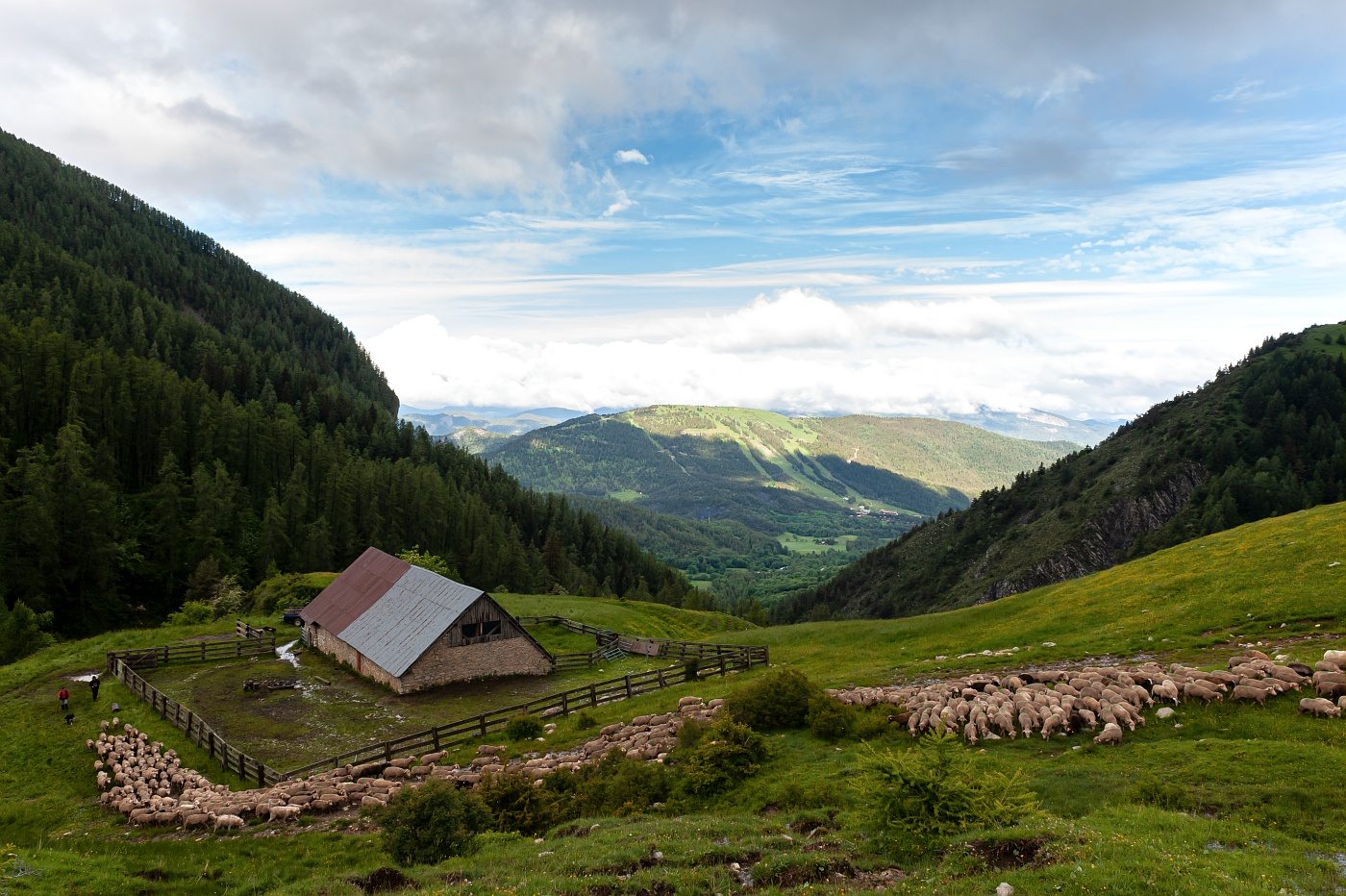
La Routo, a cross-border route linking the Crau plain (Bouches du Rhône) to the Stura valley (Italy), following in the footsteps of the sheep herds that practiced the great summer transhumance. This 550 km journey along transhumance paths, including 252 km in the Alpes de Haute Provence, runs from the plains of lower Provence to the alpine valleys of Piedmont. This is a walking route that can be done with a donkey. Some sections are suitable for mountain biking and electric mountain biking only on the TransUbayenne section.
The La Routo route
The route is thus approved as a GR®69 long-distance hiking trail by the French Hiking Federation. It is based on numerous existing routes, including long-distance hiking and short-distance hiking trails.
The route is covered in 34 captivating stages. Starting in Arles, in the heart of the Rhône delta and the Crau plain, it passes through the Var before venturing into the Alpes de Haute Provence, passing through Gréoux-les-Bains, the majestic Valensole plateau, Digne-les-Bains, Seyne and Barcelonnette, in the heart of the Ubaye valley. The climb continues to the Col de Roburent, before crossing the border into Italy, to Cuneo, in the heart of the Valle Stura (Italy).
- Stages 1 to 9: Arles to Vinon
- 10: Vinon – Valensole: 21 km – D+ 388 m – Duration: 5h30
- 11: Valensole – Riez: 18,5 km – D+ 308 m – Duration: 5 hours
- 12: Riez – Saint-Jurs: 16 km – D+ 494 m – Duration: 4h35
- 13: Saint-Jurs – Bras d'Asse: 11,6 km – D+ 40 m – Duration: 3h10
- 14: Bras d'Asse – Le Chauffaut-St-Jurson: 20 km – D+ 608 m – Duration: 6 hours
- 15: Le Chauffaut-St-Jurson – Digne-les-Bains: 11,4 km – D+ 191 m – Duration: 3 hours
- 16: Digne-les-Bains- La Javie: 20,6 km – D+ 433 m – Duration: 5h30
- 17: La Javie – Le Vernet: 19,1 km – D+ 840 m – Duration: 6 hours
- 18: Le Vernet – Seyne: 14,4 km – D+ 404 m – Duration: 4h15
- 19: Seyne – Vallon du Laverq: 21,6 km – D+ 1361 m – Duration: 8h10
- 20: Vallon du Laverq – Méolans-Revel: 10,2 km – D+: 649 m – Duration: 4h30
- 21: Méolans-Revel – Barcelonnette: 14,7 km – D+ 265 m – Duration: 3h50
- 22: Barcelonnette – La Condamine: 15,8 km – D+ 411 m – Duration: 4h30
- 23: La Condamine – St Ours: 12,3 km – D+ 1040 m – Duration: 4h55
- 24: St Ours – Larche: 14,3 km – D+ 634 m – Duration: 4h40
- Stages 25 to 34 to Cunéo (Italy)
When to go on La Routo?
The first section of La Routo, from stage 1 to stage 16 (La Javie), is passable all year round. However, to fully enjoy the route as a whole, it is recommended to choose the months of June, July, August, September and October. Indeed, beyond La Javie, in Ubaye and at the Col de Roburent, the paths gain altitude and the snow can make access difficult in winter and spring.
Practical information for hiking
Here are links to the French Hiking Federation's topo-guide: La Routo – From Provence to the Alps via the drailles – GR® 69. It presents the route over 550 km and 34 stages. The gpx file of the route as well as links to supplement the information.
Some suggestions