
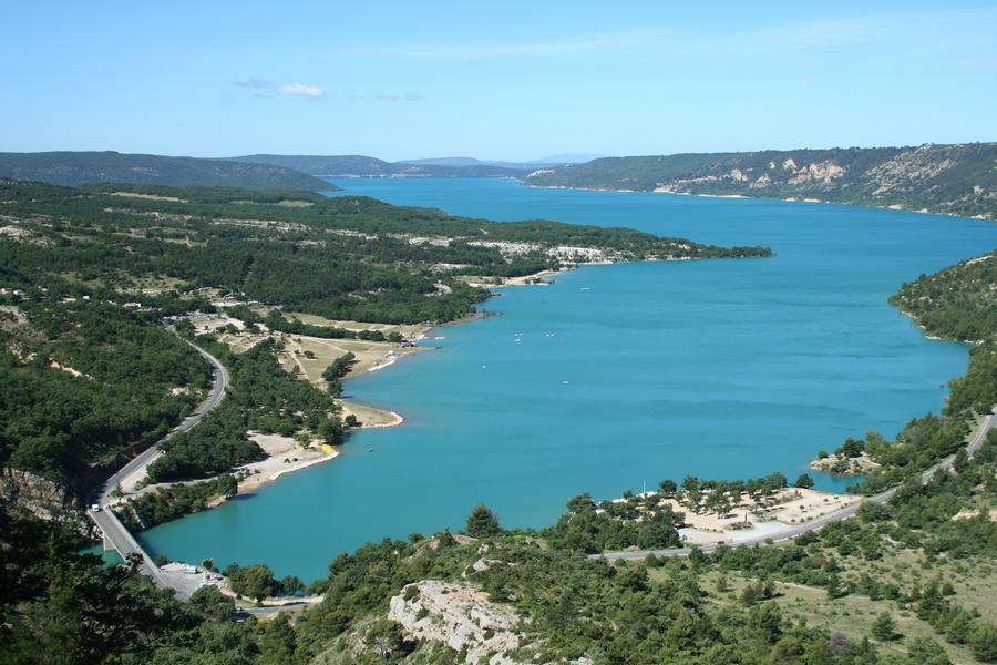
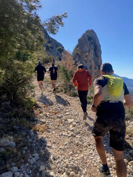
Start and parking at the entrance to the village, on the road to Riez. Loop route through Moustiers and the Valensole plateau with a return via the Sainte Croix lake.
Description
Type : Marked loop
Distance : 13km
Elevation : 390m
Duration : 2h
Difficulty : Easy
Max altitude : 774m
Marking details
Trail running
Comfort and amenities
Equipment
Rates / opening
Prices
Free access.