
Distance 9.01km
Elevation 526m
Duration 4h
A discovery trail through the forest (black pines and larches), but also open areas (cultivated areas, pastures), where you can find interpretation panels explaining certain elements of local history and the natural environment.
Description
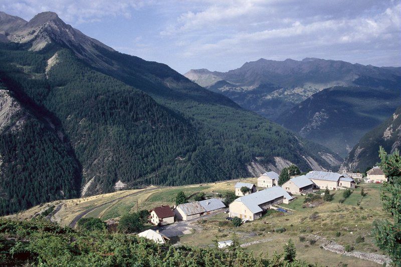
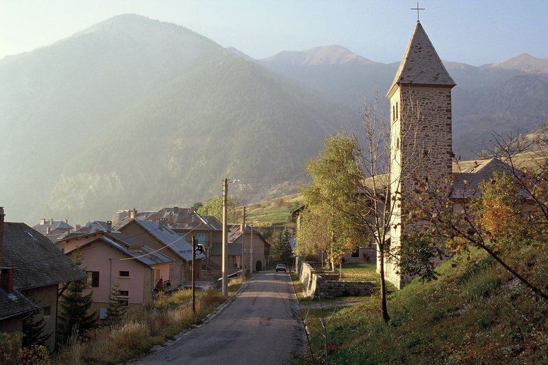
The starting point is in the village square of Meyronnes at the edge of the departmental road. Go up into the village to turn left and take the small road passing under the colony. In the bend of the road, the trail begins with the fording of a stream (to be avoided during heavy storms), then by the climb in a stand of Austrian black pines and larches from the reforestation of the Restoration of Mountain Land. On the slopes of the Rochaille, 214 ha were purchased by the State in 1886 for planting work. The forest is today managed by the National Forestry Office (ONF). The Belvédère du Pinas, located almost at the top of the hike, allows you to admire a vast unstable slope of sedimentary rocks called Flysch; we then understand the reason for the rock falls which sometimes paralyze the road below. The trail continues at the same altitude. If you pay attention, you will be able to notice just below the path, the excavations of the old slate quarry, closed in 1884. You will quickly reach the Serre la Plate blockhouse, one of the elements of the Maginot Line of the Alps. You can also see on the Ubac of Meyronnes the large fort of Roche la Croix, and on the sunny side, the works of Saint Ours Haut and Saint Ours Bas, all built between 1930 and 1936. The path continues and leaves the forest to reach the plateau of Saint Ours, a small hamlet in a setting of cultivated areas and pastures, which are highlighted by the grandiose homonymous rocks. With pastoral pressure having diminished, we can see the dynamics of natural recolonization on the slopes around the hamlet: common junipers and sabines, rosehips, Scots pines... are gradually gaining ground. From Saint Ours, the return is via the track descending to Meyronnes.
Type : Marked loop
Distance : 9.01km
Elevation : 526m
Duration : 4h
Max altitude : 1932m
Marking details
Small hike markings
Delicate passages
In summer it is hot on the way up (although it is shaded); it is better to leave early in the morning.
Guidebook references
https://rando.marittimemercantour.eu/pedestre/sentier-de-la-rochaille/