
Distance 6.17km
Duration 4:30
Description
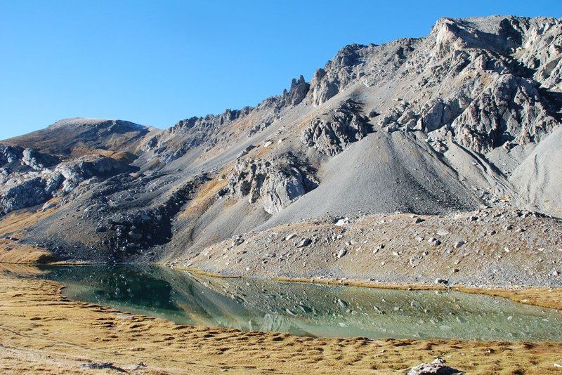
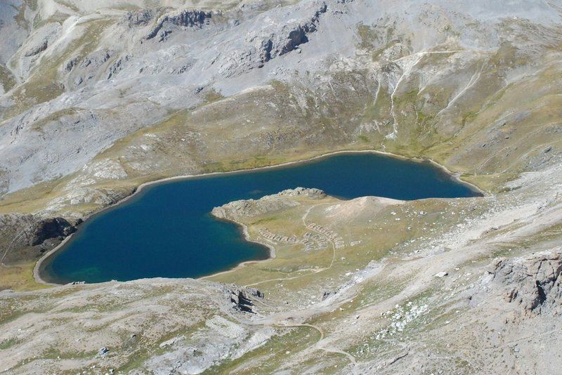
From the car park, head into the mountain pastures on a wide path. Initially gently sloping, it then climbs along the right bank of the Orrenaye torrent and passes near a recent sheepfold, before crossing a rocky barrier. Ignore the descent route on the right. Continue straight ahead, then ignore a slope on the left leading to a pastoral hut. At the crossroads, head right on an upward traverse. When you reach a small crossroads, continue straight ahead, ignoring the return path on the right. After a small residual lake, you reach the Orrenaye lake. Continue climbing to the left of the lake and cross a stream, before a fork. To reach the Roburent border pass (2502m) and admire the Italian lake of the same name, continue on the less steep path in the same direction. Then descend by the same route. At the residual lake, take the path on the left before returning to the path taken on the way out to the car park.
Type : Marked round trip
Distance : 6.17km
Duration 4h30
Marking details
Long-distance hiking trail markings - Short-distance hiking trail markings
Delicate passages
Do not enter the valley on days of poor visibility / Keep dogs on a leash in pastoral areas / Do not forget your water bottle and binoculars. Since summer 2015, a vegetation monitoring protocol has been in place at the Oronaye lake. Please respect the fence and the stakes in place.
Guidebook references
https://rando.marittimemercantour.eu/pedestre/lac-de-loronaye/