
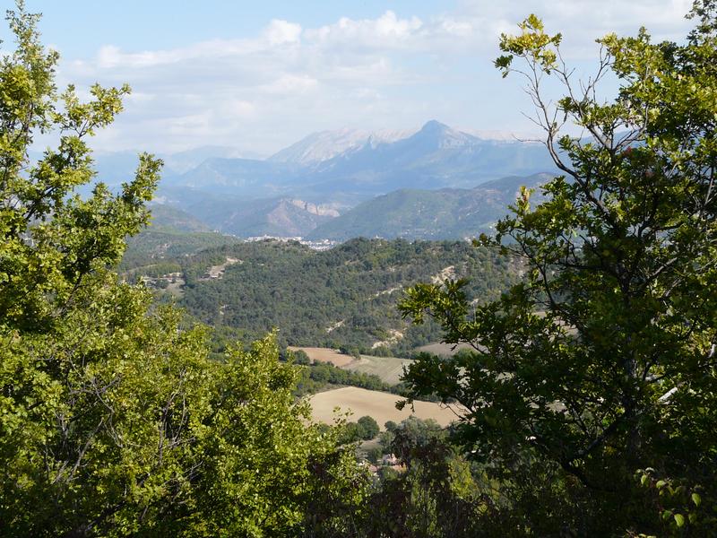
The hill of Puy constitutes the highest point in the commune of Aiglun.
Description
Le Puy Hill is the highest point in the commune of Aiglun. From its 900 m height, it offers an exceptional view of the surrounding valleys and peaks. It is one of the interpretation sites of the Haute-Provence Geopark.
The Puy hill takes its name from the Latin podium, which means small eminence. The panorama it offers allows us to understand the formation of the region's relief. Le Puy and the surrounding terrain are composed of Valensole puddings, an amalgam of pebbles coated with calcareous sandstone. Unlike these terrains, which have not moved since their formation, the mountains in the background (Barre des Dourbes, Pic de Couard, Cousson, etc.) were moved during the uplift of the Alps. They belong to the Digne nappe and are composed of sedimentary rocks (limestone, marl, sandstone) from marine deposits. The sea covered this region throughout the Secondary Era and the first part of the Tertiary Era.
A path leads you there and will also allow you to discover the sites of Saint-Jean and Vieil Aiglun.
Comfort and amenities
Services
Rates / opening
Prices
Free access.